

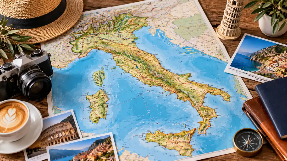
Opening a map of Italy before booking a trip can prevent one of the most common itinerary problems: choosing destinations because they sound appealing without considering where they actually are.
Map of Italy for Travel: Rome, Florence and Venice may dominate first-trip wish lists, but Italy extends from Alpine landscapes in the north to Mediterranean islands in the south. Milan, Naples, Sicily, Sardinia, Tuscany, Lake Como and Apulia occupy very different positions.
The smartest way to use an Italy map for travel is therefore not to memorize every place. It is to identify geographic clusters.
Think in Travel Zones, Not Individual Attractions
Instead of immediately listing ten cities you want to visit, divide Italy into broad zones.
| Travel Zone | Useful Anchors |
| Northwest | Milan, Turin, Genoa |
| Northeast | Venice, Verona, Bologna, Dolomites |
| Central | Florence, Tuscany, Rome |
| Southern mainland | Naples, Apulia, Calabria |
| Islands | Sicily, Sardinia |
This immediately reveals which destinations naturally fit together.
Official Italian tourism information similarly presents the country through regions, cities, sea destinations, mountains, and other geographic destination types.
Northern Italy: Mountains, Lakes and Major Cities
Look at the top of an Italy map, and you encounter the country’s Alpine frontier.
Northern Italy can support an entire trip without continuing to Rome or farther south.
Milan as an Anchor
Milan sits in Lombardy and works as a useful geographic anchor for understanding the north.
From a planning perspective, thinking “Milan area” can lead travelers toward Lombardy’s lakes and neighboring northern regions rather than treating Milan as an isolated stop.
Venice and the Northeast
Venice lies farther east in Veneto.
Travelers frequently associate Venice only with its canals, but locating it on a national map shows how far northeast it actually sits.
That makes it useful when planning a journey involving other northeastern destinations.
The Alpine North
The Italian Alps occupy the country’s northern edge.
Travelers interested in mountains should therefore think differently from visitors building an art-city itinerary around Florence and Rome.
Official tourism descriptions emphasize the Alpine environments of Aosta Valley and the Dolomites of northern Italy.
- Read more: Map of Italy for Travel
Central Italy: Florence, Tuscany and Rome
For many first-time visitors, central Italy contains the most recognizable cluster.
Florence and Tuscany
Florence is the capital of Tuscany.
This is an important map distinction because travelers sometimes use “Florence” and “Tuscany” almost interchangeably.
Florence is one destination within the larger region.
A Tuscany itinerary can therefore extend beyond Florence into smaller cities, towns, and countryside.
Rome and Lazio
Travel south from Tuscany,y and you reach Lazio, the region containing Rome.
Rome is therefore both a major national destination and a useful geographic dividing point when planning a longer north-to-south trip.
Naples and Campania
Naples sits south of Rome in Campania.
Locating Naples correctly helps travelers understand the geography of several famous destinations in this part of Italy.
Rather than treating every southern attraction as a separate trip, the map encourages you to look for regional connections.
Official tourism information describes Naples as a major cultural destination with both urban attractions and a distinctive coastal setting.
The Heel: Apulia
Look toward the southeast and the Italian boot begins to make travel geography intuitive.
Apulia, or Puglia, occupies the heel.
Bari is the regional capital.
This region’s position matters because it is well removed from the classic Venice–Florence–Rome corridor.
If Apulia is a major priority, build an itinerary around southern Italy rather than simply squeezing it between unrelated northern stops.
The Toe: Calabria
Calabria occupies the toe of the boot.
This is the mainland region immediately before Sicily.
Its location explains why it belongs naturally to a southern itinerary.
Official tourism material describes Calabria as the tip of the Italian boot and emphasizes its combination of mountains and coastline.
Sicily Requires Island Thinking
Sicily looks extremely close to mainland Italy on a national map—and geographically it is separated from Calabria by the narrow Strait of Messina.
But a travel itinerary should still treat it as an island destination requiring its own transportation planning.
Palermo is on Sicily’s northwestern side, while other major Sicilian destinations are spread across the island.
A tiny map can disguise these internal distances.
Sardinia Is a Separate Geographic Cluster
Sardinia lies well west of mainland Italy.
That makes it particularly important not to judge travel logistics by a simplified map alone.
A Sardinia trip works differently from a mainland city-hopping itinerary.
If beaches and island landscapes are your main objective, Sardinia may deserve to become the focus rather than an extra pin on an already crowded national route.
Three Ways to Build an Italy Itinerary From a Map
Route 1: Classic First-Time Corridor
A traveler primarily interested in famous art and historic cities might build around:
Venice → Florence → Rome
The benefit is geographic logic. You move broadly through the country rather than repeatedly reversing direction.
Route 2: Northern Italy Focus
Consider a route organized around:
Milan → northern lakes → northeastern Italy
This is better for someone whose priorities include cities, lakes, and Alpine landscapes.
Route 3: Southern Italy Focus
A southern-oriented journey could center on:
Naples → southern mainland destinations → Sicily
The exact itinerary should depend on available days and transportation rather than simply how close destinations appear on a small map.
Map Distance vs. Travel Time
This is one of the most useful distinctions a travel article can provide.
Two destinations looking close on a map do not automatically mean the journey between them is convenient.
Travel time depends on:
- train connections
- road geography
- ferry requirements
- airport locations
- mountains
- islands
- transfers
- seasonal schedules
Use the national map to design your broad route, then verify each journey with current transportation information.
Train Map vs. Geographic Map
These maps answer different questions.
A geographic map tells you:
Where is this destination?
A transportation map tells you:
How can I reach it?
Do not substitute one for the other.
A place that appears geographically close may require a slower connection than two cities linked by efficient rail.
Choosing Your Region by Travel Style
| You Want | Areas to Explore on the Map |
| Alpine landscapes | Northern Italy |
| Major art cities | Central + northern city corridor |
| Tuscany countryside | Tuscany |
| Rome/history | Lazio |
| Naples and surrounding region | Campania |
| Adriatic/southeastern trip | Apulia |
| Island trip | Sicily or Sardinia |
| Mix of mountains and coast | Several northern/southern regions |
The official tourism portal’s destination pages reinforce how dramatically landscapes differ among regions, from Alpine terrain to beaches and islands.
Mistakes to Avoid When Using an Italy Travel Map
Trying to Cover the Entire Country
Italy’s shape encourages travelers to imagine a simple north-to-south progression.
But visiting many regions takes time.
More destinations do not necessarily create a better trip.
Confusing Regions and Cities
Tuscany is not a city.
Florence is a city in Tuscany.
Lazio is not another name for Rome.
Rome is a city in Lazio.
Understanding these relationships makes accommodation and transportation searches much easier.
Ignoring the Islands
Sicily and Sardinia deserve dedicated planning.
Their separation from mainland Italy affects transportation and itinerary design.
Assuming Straight-Line Distance Equals Easy Transportation
Mountains, coastlines, islands, and transportation networks all affect real journey times.
Use Different Maps at Different Stages
A good travel-planning process uses several layers.
Stage 1: Country map
Choose north, central, south, or islands.
Stage 2: Regional map
Identify cities and attractions within the chosen region.
Stage 3: Transportation map
Check connections.
Stage 4: Local map
Plan hotels, stations, and individual sights.
This approach is much more effective than trying to make every decision from one national map.
Frequently Asked Questions
What is the best map of Italy for tourists?
Start with a regional and city map for orientation, then use current rail, road,d or transit maps for actual journey planning.
Where are Rome and Florence?
Rome is in Lazio, while Florence is in Tuscany to the north of Rome.
Is Venice in northern Italy?
Yes. Venice is in Veneto in northeastern Italy.
Where is Milan?
Milan is in Lombardy in northern Italy.
Where is Naples compared with Rome?
Naples is south of Rome and is located in Campania.
Where is Sicily?
Sicily is the large island just off the southern end of the Italian peninsula.
Where is Sardinia?
Sardinia lies west of mainland Italy in the Mediterranean.
What is the heel of Italy?
Apulia, or Puglia, forms the recognizable heel of the boot-shaped peninsula.
What is the toe of Italy?
Calabria forms the toe.
Should I plan an Italy trip using distance alone?
No. Use the map for orientation but verify real travel times and transportation connections before finalizing an itinerary.